Home Our Services Project Showcase Application Contact Us
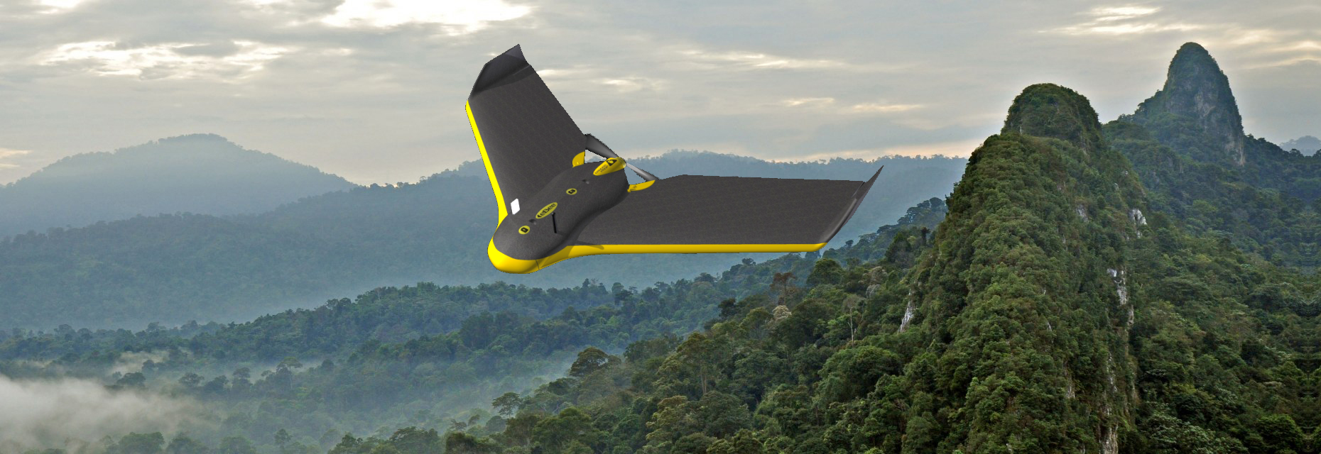
HIGH ALTITUDE UAV
The Intelligent Mapping Drone
Use this fully autonomous drone to capture high-resolution aerial photos that you can transform into 2D orthomosaics, 3D models and contours.
LOW ALTITUDE UAV
Intelligent drone for aerial mapping and videography.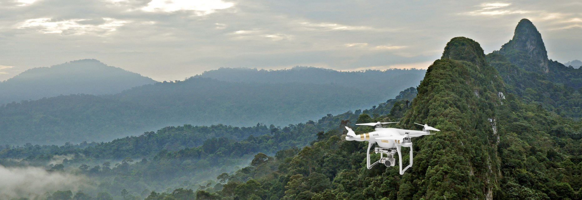
DRONES-UAV MAPPING
The quick way to get the terrain profile without incurring high initial cost.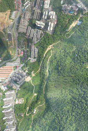
DRONES-UAV CONTOUR MAPPING
The quick way to get the terrain profile without incurring high initial cost.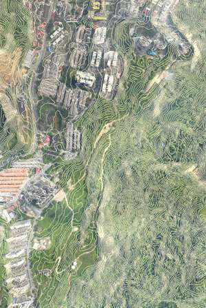
DRONES-UAV DEM MAPPING
The quick way to get the terrain profile without incurring high initial cost.
CONTACT INFO
No. 39-1, 1st Floor, Jalan Dataran Wangsa 1, Dataran Wangsa Melawati,
53300 Kuala Lumpur.
Kuala Lumpur, Malaysia.
+603.4149.2355
+603.4149.2366
igpgold@gmail.com
TWITTER
Tweets by @mygeoplanning
FACEBOOK
Integrated Geo Planning Sdn. Bhd.
GEOPLANNING UAVS
Integrated GeoPlanning Sdn. Bhd. is a GIS company specializing in UAV mapping for production of orthophoto, videography, contour, landuse and aerial mapping.