Home Our Services Project Showcase Application Contact Us
APPLICATION
Home Application
Drones-UAV Application Fields
We are prepared to see a limitless number of opportunities and experiences, in many industries and application fields for the drone technology.
LOCAL AUTHORITY
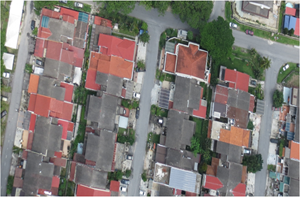
UAV images can be used as a proof for re-evaluation of tax assessment.
Planning to generate income from new parking/illegal parking (summons collection).
Lanscape planning.
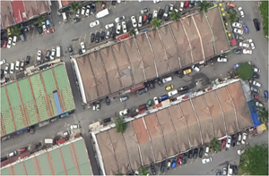
Monitoring illegal dump site in local authority area.
AGRICULTURAL MONITORING
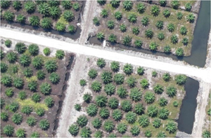
Monitoring oil palm plantations using drones-UAV to support sustainability.
REAL ESTATE

Fully automated drones-UAV implemented as a solution to real-estate on-site monitoring and task management.
LAND BORDER MONITORING
Land border monitoring system to assist the authorities to carry out border control tasks. All data acquisition will be performed by drones-UAV and analysed by a computer in the monitoring centre for the determination of the action, at the same time solving the problem of integrity among staff on duty.
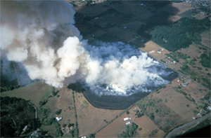
FORESTRY MONITORING
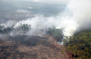
Forest fire monitoring with multiple small UAVs.
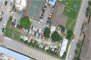
TRAFFIC MONITORING
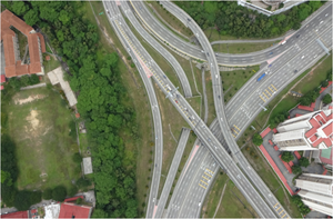
Road intersections cover large area which can be difficult to entirely monitor. In recent years, unmanned aerial vehicles (UAV) for traffic monitoring and traffic data collection are used because of their ability to cover such large area. A generic and robust approach to detection and tracking of road vehicles from aerial video sequences is an important goal of the fully autonomous drones-UAV systems for traffic monitoring.
ENVIRONMENTAL MONITORING
An important feature when conducting monitoring programs and environmental impact assessments is the ability to produce accurate line of site analyses to enable precision placement of monitoring equipment. This can help reduce costs and maximise equipment usability.
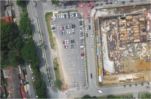
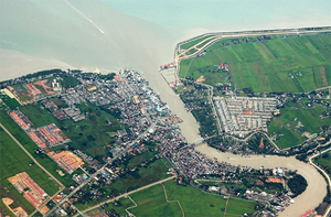
LAND USE MONITORING & PROJECT CONSTRUCTION
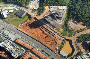
The use of aerial images obtained from an Unmanned Aerial Vehicle (UAV) and its classification with a supervised methodology, will allow the discrimination of the land cover classes in a more expeditious manner.
EMERGENCY SERVICES & SAFETY

Flood disaster site monitoring drones-UAV.
CONTACT INFO
No. 39-1, 1st Floor, Jalan Dataran Wangsa 1, Dataran Wangsa Melawati,
53300 Kuala Lumpur.
Kuala Lumpur, Malaysia.
+603.4149.2355
+603.4149.2366
igpgold@gmail.com
TWITTER
Tweets by @mygeoplanning
FACEBOOK
Integrated Geo Planning Sdn. Bhd.
GEOPLANNING UAVS
Integrated GeoPlanning Sdn. Bhd. is a GIS company specializing in UAV mapping for production of orthophoto, videography, contour, landuse and aerial mapping.